


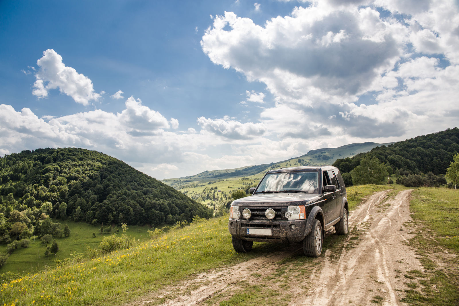
- Thousands of miles of scenic hiking trails wind through Colorado’s backcountry
- While some trails are loops, others may require hikers to make transportation arrangements at the end of a hike to get back to their vehicle at the starting point
- When traveling across Colorado to explore trails at state and national parks, ensure that you have the proper amount of car insurance for your needs
For more than 13,000 years, Colorado inhabitants have been living off the land and navigating across the mountainous terrain. European explorers and settlers arrived far more recently, but exploring the land and taking in the scenic beauty of the landscape continue to be a popular activity.
With 42 state parks and four national parks in Colorado, there are thousands of miles of hiking trails that you can explore throughout the state.
Both one-day hiking trips and overnight or extended backpacking trips are popular ways for locals and visitors alike to spend time in Colorado.
Trails give you a convenient way to explore some of the most scenic locations of the state that are off the beaten path, and you can immerse yourself in nature for a truly relaxing, healthy experience.
While there are thousands of miles of trails to explore, you may want to start exploring the state by visiting some of Colorado’s best backpacking and hiking spots.
Are you looking to travel through beautiful Colorado? Ensure that your car is covered first by comparing at least three to four policies today! Enter your ZIP code above to begin!
Colorado’s 10 Best Backpacking and Hiking Spots
If you are ready to see Colorado up-close and enjoy all that it offers, you may be wondering where some of the best hiking trails are. Depending on how much time you have available for a hiking or backpacking trip, these are some of the top contenders to think about.
#1 — Mount Bierstadt Trail
Length: 7.3 miles
Difficulty: Difficult
Situated just a short drive from Idaho Springs, the Mount Bierstadt Trail gives you the chance to explore the wilderness in the Rocky Mountains. This trail is usually fairly busy, so it is not an ideal hike if you want to get away from it all and commune with nature.
It takes you on a 7.3-mile route with an out-and-back design.
Because you will ascend both Mount Bierstadt and Mount Evans on this trail, you should expect a challenging hiking experience with significant elevation changes. In fact, while dogs are permitted on this trail, the arduous nature of the trail makes it not well-suited for bringing pets or children along.
#2 — Crater Lake Trail
Length: 3.9 miles
Difficulty: Moderate
Situated near Aspen, the Crater Lake Trail is a heavily wooded, 3.9-mile trail. It has only a moderate change in elevation and an out-and-back route. You should expect to see ample traffic on this trail as well as numerous pets on leashes.
The first half of this trail is relatively steep, but the grade evens out during the second half. You can expect to enjoy very scenic mountain and lake views along the way.
#3 — Devil’s Thumb Pass and King Lake Trail
Length: 15.3 miles
Difficulty: Moderate
While the Devil’s Thumb Pass and King Lake Trail may be completed by fast hikers over the course of a single-day trip, it may be best to cover the length of this 15.3-mile trail over two to three days.
The trail is located near Nederland and has a total elevation change of more than 3,000 feet, making it moderately challenging for most people.
The trail rises above the tree line for a decent distance, which provides you with incredible mountain views in all directions. Despite its length, this trail is popular and has moderate traffic during the warmer months of the year.
#4 — Royal Arch Trail
Length: 3.5 miles
Difficulty: Moderate to Difficult
If you are looking for a short, scenic hike close to the Denver area, the Royal Arch Trail in Boulder is a fantastic option to consider.
Located in Chautauqua Park, this trail covers a distance of approximately 3.5 miles and has an elevation change of approximately 1,400 feet. It is rated as moderate to difficult, and it has an out and back design.
When you walk along the Royal Arch Trail, you may see gorgeous rock formations and an abundance of wildlife. There is also a natural spring along the way, and some people use the rock formations for climbing.
#5 — Maxwell Falls Lower Trail
Length: 4.2 miles
Difficulty: Moderate
The Maxwell Falls Lower Trail is located near Evergreen in the Arapaho National Forest. This trail is a moderate one that is very popular with ample traffic during the warmer season.
It takes you on a 4.2-mile path that crisscrosses in a figure-eight and that has an elevation of slightly more than 1,000 feet.
This trail is popular for hiking and sightseeing and can easily be completed with a day trip. Some people also use the trail for trail running, but the waterfalls located along the path make it most popular for sightseeing.
Free Car Insurance Comparison
Compare Quotes From Top Companies and Save
#6 — Beaver Brook and Chavez
Length: 4.2 miles
Difficulty: Moderate
The Beaver Brook and Chavez Trail located in Gennessee Park near Golden is a scenic, 4.2-mile loop with a moderate rating. Both hiking and trail running are popular here. You can expect to enjoy a heavily wooded trail that has a 1,181-foot elevation change.
A portion of the trail passes near a river. Other natural landscapes that you will see include a lake, a canyon, and wildflowers seasonally. Expect to see abundant wildlife as you explore this trail.
#7 — Conejos River Headwaters Loop
Length: 31.5 miles
Difficulty: Difficult
Situated close to Alameda and Monte Vista, the Conejos River Headwaters Loop is a 31.5-mile loop that is ideal for a multi-day backpacking experience. This loop is a rugged, arduous trail that has steep elevation changes at times.
It takes you to scenic locations, such as Blue Lake and Timber Lake.
Close to Timber Lake, you can expect to enjoy spectacular views that stretch for miles and that span across valleys and canyons. This trail is remote, so expect to see very few other hikers or backpackers throughout your entire time on this trail.
#8 — Quartz Lake
Length: 9.4 miles
Difficulty: Difficult
The Quartz Lake trail is located near Pagosa Springs and is ideal for hiking as well as for backpacking and fishing excursions.
The elevation along this trail provides you with expansive views of both the South San Juan Wilderness Area and the Weminuche Wilderness Area.
This trail is short enough to complete within a single day for most people, but you may want to extend your experience with an overnight camping trip.
While the 9.4-mile loop technically only takes you to Quartz Lake with a maximum elevation of 12,050 feet, you can continue farther on the trail all the way to the Continental Divide if time allows.
#9 — Colorado Trail Section 24
Length: 21 miles in one direction
Difficulty: Difficult
One of the more unique and challenging hiking experiences that you can enjoy in Colorado is the Colorado Trail Section 24. This trail is located near Silverton, with this section spanning across 21 miles in one direction.
Many people use a shuttle to complete this one-direction hike rather than hiking back to the starting point.
This section of the trail crosses the track of the famous Durango-Silverton Railroad at the Animas River. You will also enjoy seeing old mining sites and some of the most impressive landscapes in the state when you take this backpacking trip.
While it is a difficult path, you will be well-rewarded with undeniable natural beauty along the way.
#10 — Four Pass Loop
Length: 27.1 miles
Difficulty: Difficult
The Four Pass Loop takes you to a maximum elevation of 12,460 feet above sea level, but this can be misleading. This 27.1-mile loop takes you up and down four mountain peaks, so you can expect to ascend and descend steep paths throughout most of this trail.
Most commonly, this hiking trip is completed over the course of four days, but it can be extended or shortened in some cases.
You can expect difficult trail conditions on the Four Pass Loop as well as incredible, natural beauty. In addition to sweeping mountain views, you will also see:
- Wildlife
- Waterfalls
- Wildflowers
- Rivers
- Lakes
When Driving Your Own Car
Many of the popular Colorado hiking trails featured on this list have parking spaces at the trailhead or very close by. You can read more about each trail’s starting point to learn more about the possibility of conveniently driving your own car to the starting point.
Trails that are out-and-back and cross a shorter distance, as well as loop trails, are ideal for driving your own car.
When you are driving to and from these trailheads, you can expect to encounter difficult and dangerous driving conditions. Roads in the area are known for twists and turns, steep grades, severe weather conditions, and wildlife crossing the road.
More than that, you will need to keep your car parked and unattended for several long hours or even days in some cases. Everything from car accidents and weather-related damage to theft and more should be considered as possibilities.
A smart idea is to review your car insurance coverage before you start driving for a hiking experience. Liability insurance is required by law in Colorado, but you may consider buying other types of coverage as well.
Liability insurance will only pay for expenses that you cause for other drivers on the road. It will not pay for repairs or a vehicle replacement if you are in an accident, hit wildlife with your car, or have a theft issue.
Many drivers will request at least three to four quotes for coverage to compare rates, and it is a good idea to request competitive rates for comprehensive insurance. Comprehensive insurance provides you with financial benefits related to:
- Wildlife issues
- Accidents
- Weather-related damage
- Theft
Other Transportation Options to Consider

Driving your own car and parking it at a trailhead is not the only transportation option to consider. If you plan to take a longer hike or travel on a trail that does not have a loop, you can look for a shuttle service nearby or ask a friend to drive you.
Your friend may drop you off in your car or their car, and you can schedule a pick-up time and date at the other end of the trail. Remember that your friend should be adequately insured if they will be driving your vehicle for even a short time.
There are other transportation options for hikers and backpackers to consider as well. For example, you can use ridesharing services or even public transportation in some areas throughout the state.
Consider reading different reviews from others who have hiked on these trails to learn more about parking and transportation challenges they faced. Having transportation options ready will help you to be as prepared as possible for your upcoming hiking trip.
Looking to adventure in Colorado nature? Enter your ZIP code below and start comparison shopping today before hitting the road!